


Xplore unveils colorful hyperspectral views captured by its planet-watching satellite
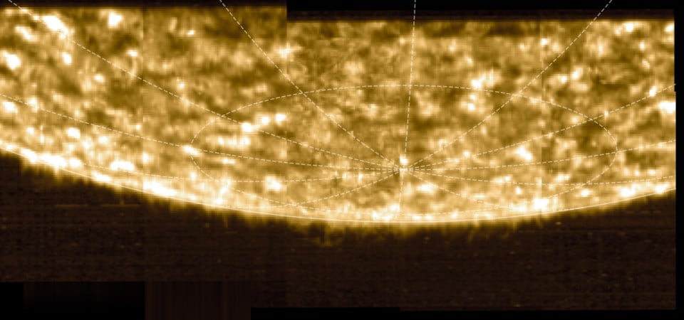
Bellevue, Wash.-based Xplore has released the first hyperspectral images from its XCUBE-1 satellite, six months after the shoebox-sized spacecraft was sent into orbit. The pictures, captured with a resolution of 5 meters (16 feet) per pixel, show a river in Arizona, rugged terrain in Saudi Arabia, farmland in Uzbekistan and a settlement in Inner Mongolia. Each image is color-coded to reflect wavelengths that go beyond what the eye can see. Such images can be used to assess agricultural crop health, moisture levels and other characteristics of a given terrain. Thermal infrared imagery could be used to track the spectral signatures… Read More


Bellevue, Wash.-based Xplore has released the first hyperspectral images from its XCUBE-1 satellite, six months after the shoebox-sized spacecraft was sent into orbit.
The pictures, captured with a resolution of 5 meters (16 feet) per pixel, show a river in Arizona, rugged terrain in Saudi Arabia, farmland in Uzbekistan and a settlement in Inner Mongolia. Each image is color-coded to reflect wavelengths that go beyond what the eye can see.
Such images can be used to assess agricultural crop health, moisture levels and other characteristics of a given terrain. Thermal infrared imagery could be used to track the spectral signatures of seagoing vessels or overland shipments as part of a campaign to crack down on illegal trafficking. For military applications, hyperspectral images could point to newly laid minefields or see through camouflage. And for space applications, Xplore’s multi-sensor imaging system could be turned to track other satellites
“Xplore is focused on providing high-quality data products for our customers and partners,” Jeff Rich, co-founder and CEO of Xplore, said today in a news release. “Our imagery is outperforming expectations, and its exceptional quality stems from the sophisticated ground calibration of our instruments and data processing pipeline. We expect demand for high-quality hyperspectral imagery to expand rapidly in multiple domains.”


Two years ago, Xplore won a study contract from the National Reconnaissance Office to look into potential applications for hyperspectral imaging. Last December, XCUBE-1 was launched into low Earth orbit on a SpaceX Falcon 9 rocket as part of the Bandwagon-2 satellite rideshare mission.
Xplore says it’s sharing its initial data and exploring use cases with key customers and partners. The company plans to send future satellite platforms into Earth orbit and to other destinations to execute on its “Space as a Service” business model.
“We’re thrilled with Xplore’s progress and are thankful for our talented team and partners,” Xplore co-founder and chief operating officer Lisa Rich said. “Their hard work and dedication are clearly reflected in the outstanding imagery we’re producing. We now invite customers to request data samples to assess our data for their programs and projects. The use of these data products will be crucial to produce insights, perform change detection and identify anomalies that are critical to our customers’ applications.”